About the Georgia Coast Atlas
A partnership between Emory's University's Department of Environmental Sciences, Department of History, and Emory's Center for Digital Scholarship, The Georgia Coast Atlas project attempts to redefine the concept of a traditional atlas, instead using digital scholarship to explore the ecological and geographic dimensions of the Georgia coast. Through this atlas, we plan to combine various forms of digital media with scholarly content to produce a website that we anticipate will be of great value to educators, conservationists, students, and the general public.
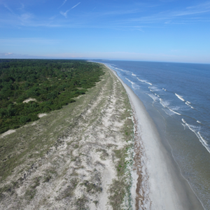
The project will provide a publicly available digital atlas to educate on the Georgia coast through the following methods: (1) annotated panoramas of coastal environments taken by aerial drones, using 360° virtual reality; (2) historical and contemporary aerial and terrestrial photography; (3) historical and contemporary dynamic map content; (4) time-lapse videos of coastal processes (such as tidal movements); (5) on-site informational videos; and (6) online scholarly articles on the natural and human history of the Georgia coast. The overarching goal of this public scholarship project is to create a comprehensive online venue for the entire hundred-mile Georgia coastline.
The Georgia Coast Atlas
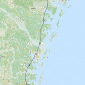
The Georgia coast, approximately 100 miles long is defined by its barrier islands and their back-barrier environments.
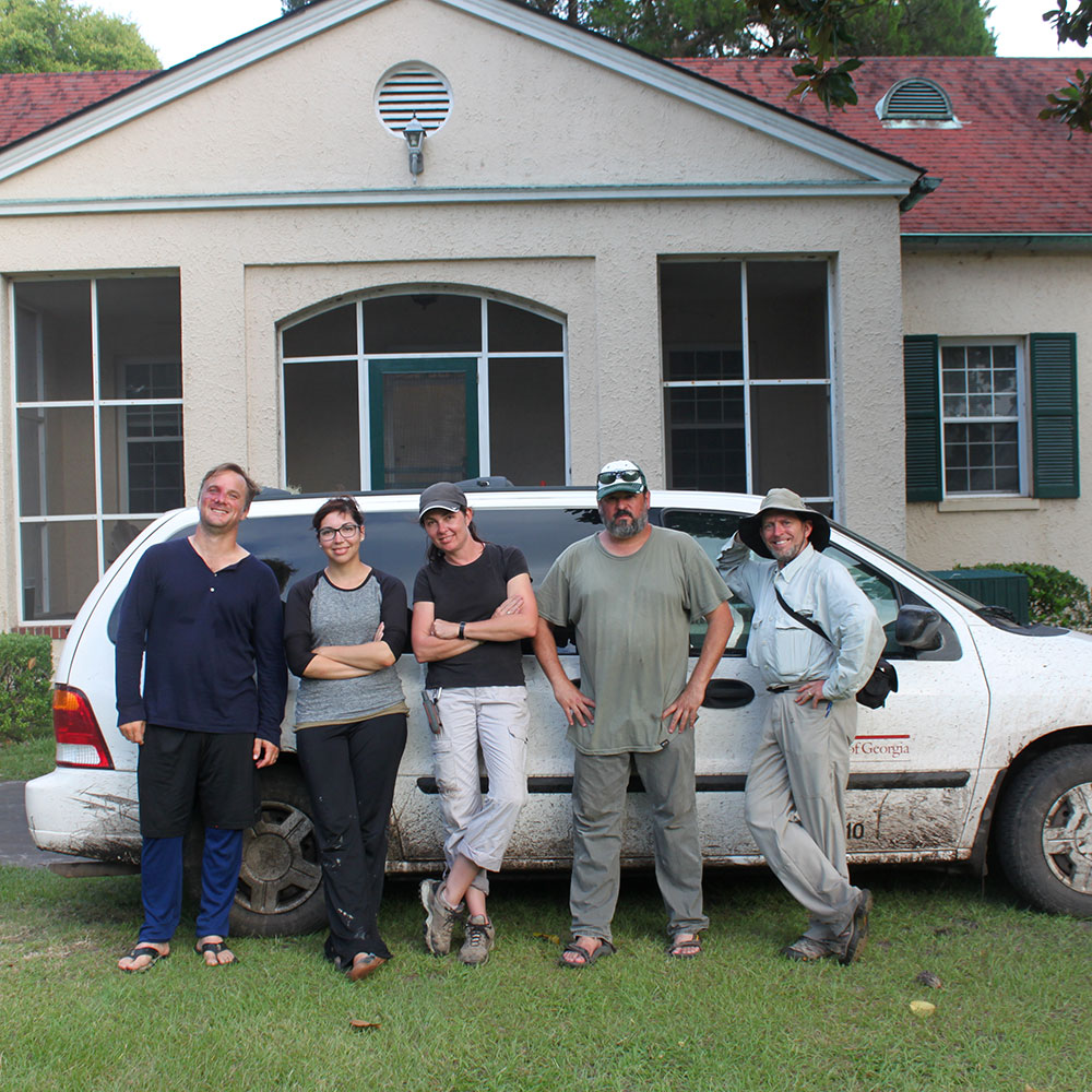
The Georgia Coast Atlas is a collaborative project between the Emory Center for Digital Scholarship and the Emory Environmental Sciences department.
Experts talk about the industry, culture, and ecology of the Georgia Coast.
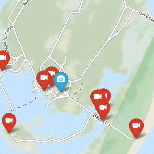
Learn about the maps used in the Atlas and how to navigate the site.